

-13%
Anti-slip ZL-180 Handheld GPS Navigation Track Land Area Meter 2.4in Display Land Survey Land Navigation ,Durable And Handy
$ 32.95
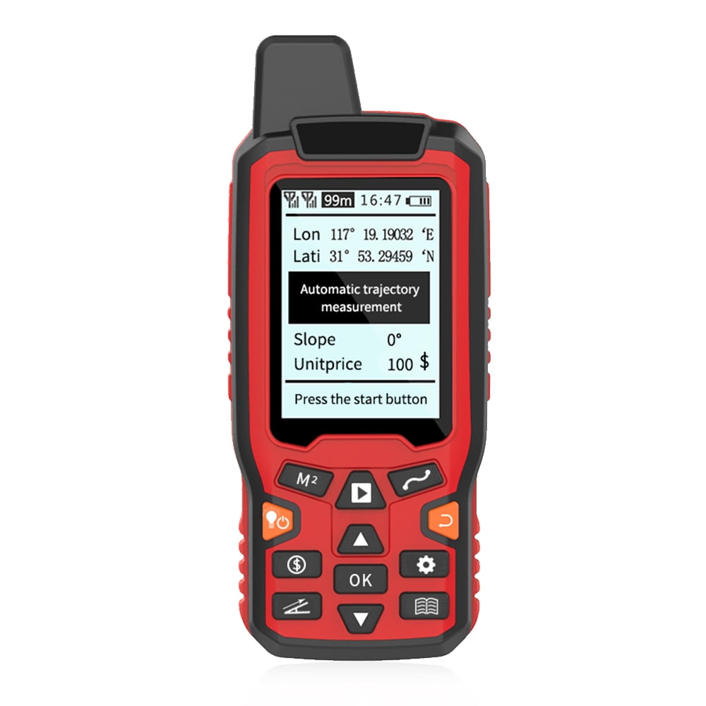
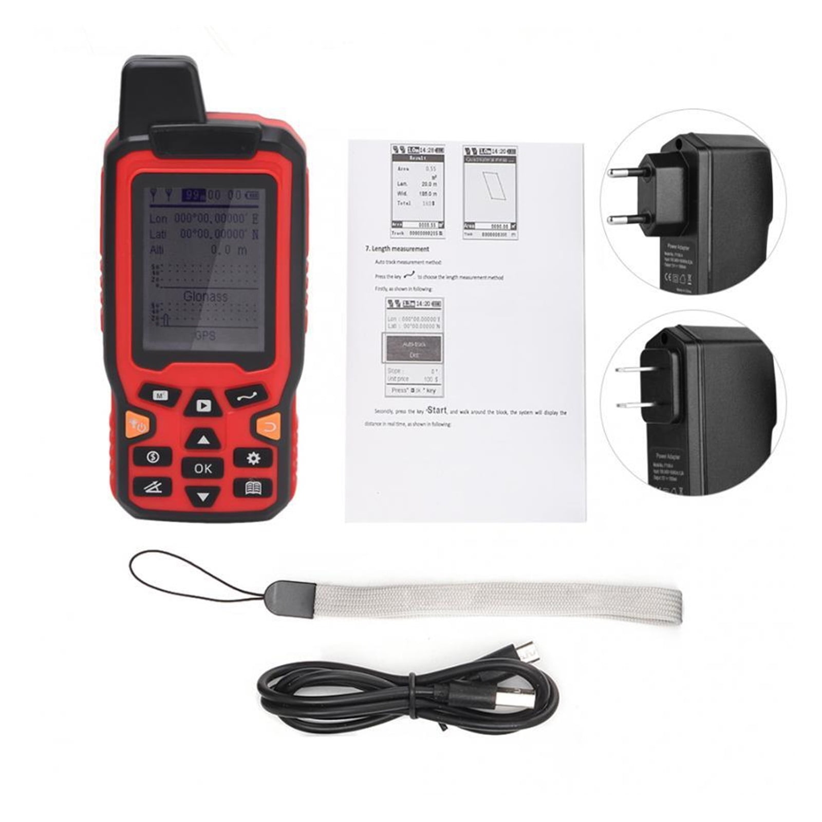
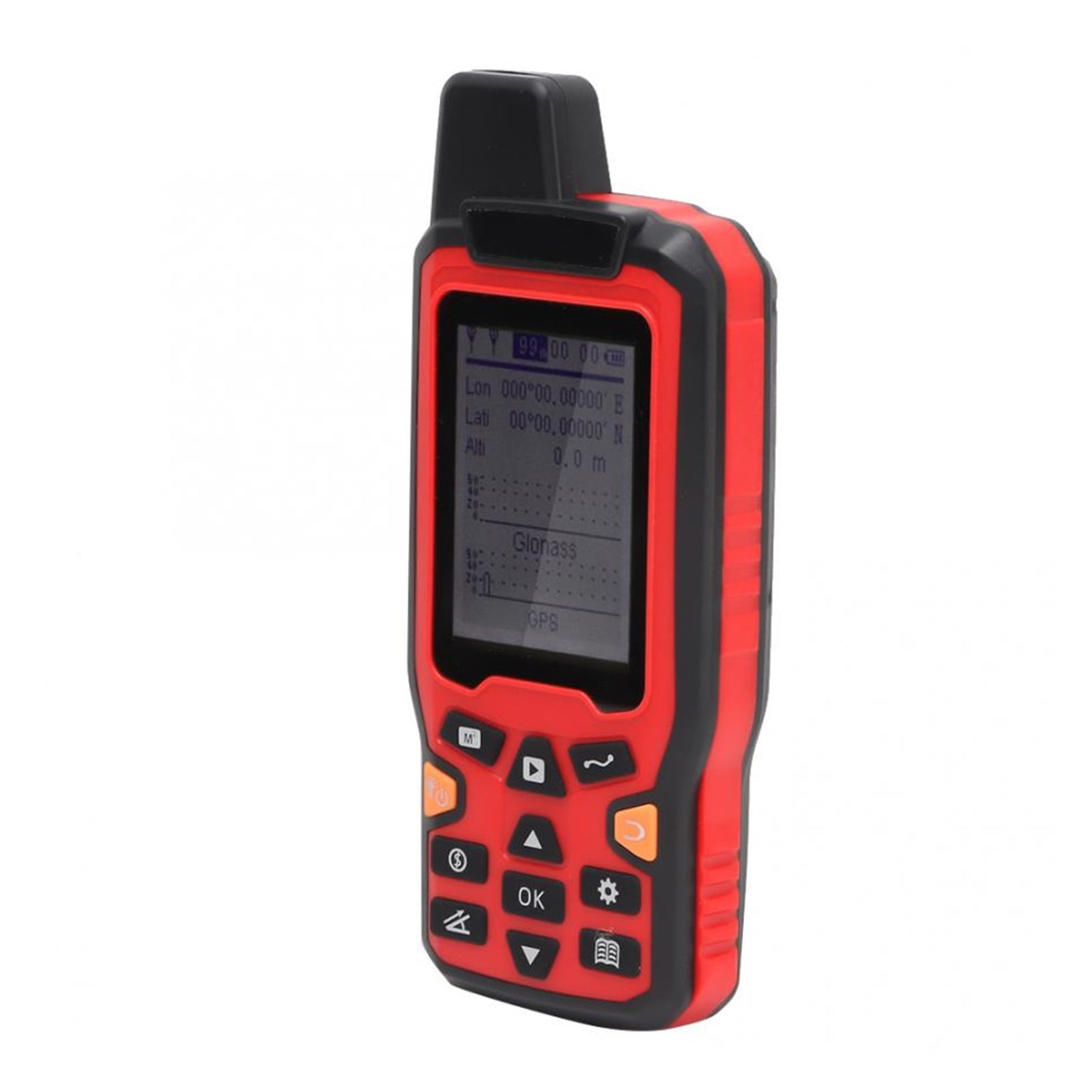
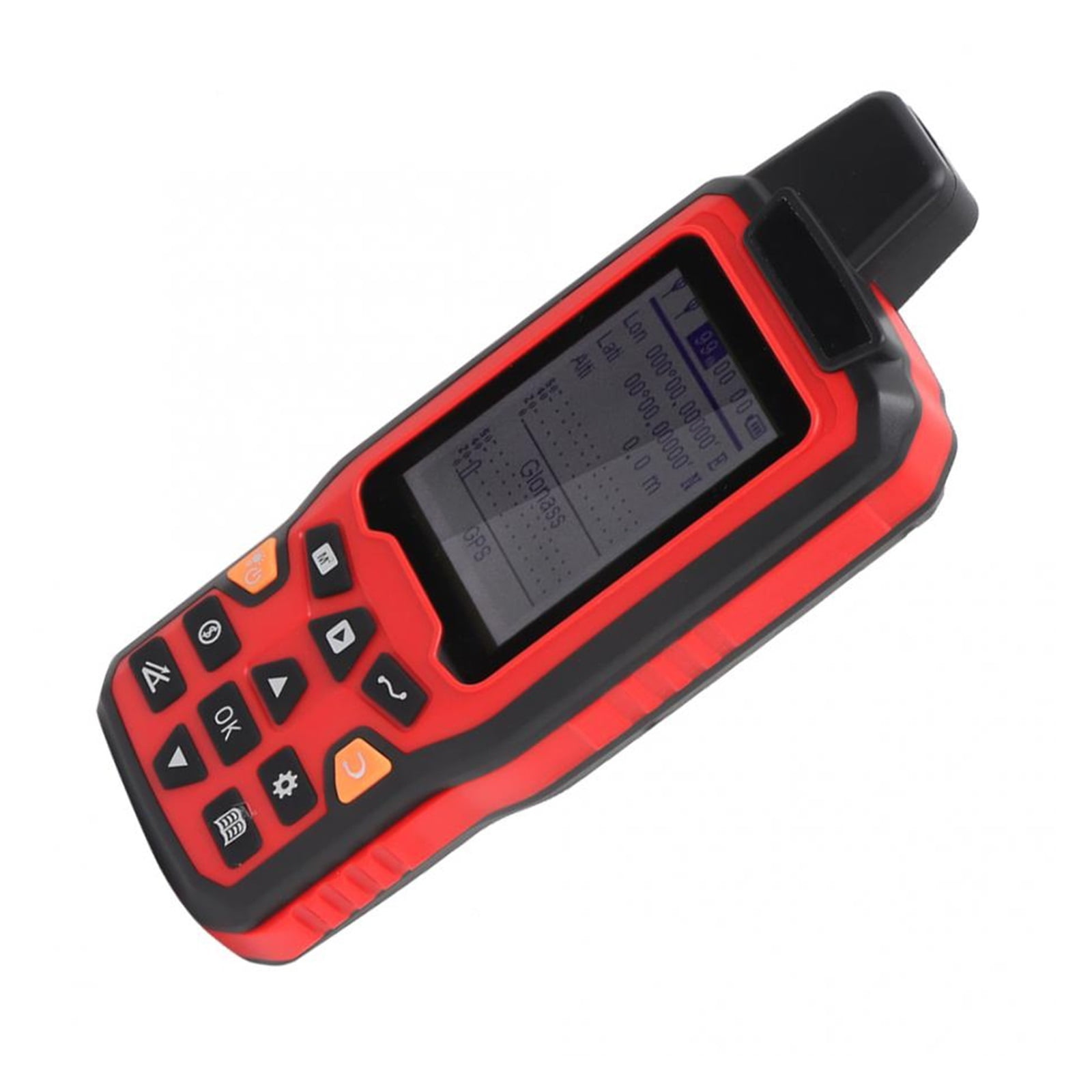
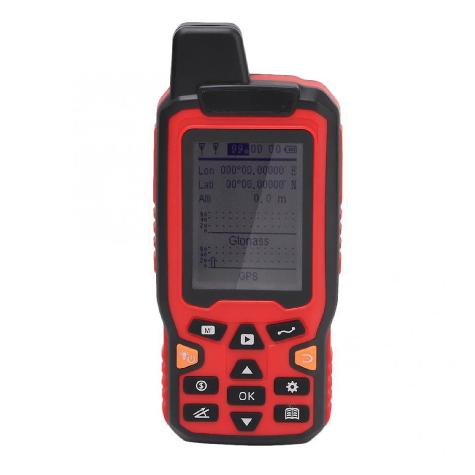
Features: Silicone material button, feel comfortable, wear – resistant and easy to use, never fade. The area, length and trajectory can be obtained simultaneously by one measurement. Specification: Model: ZL-180 Satellite accuracy: 0.8 m Measurement error: 0.01 Length and width measurement: Yes Manual fixed point measurement: Yes Vehicle mode measurement: Yes Automatic slope measurement: Yes Real-time display graphics: Yes Three real-time display: real-time display trajectory, real-time display area, real-time display length. Measurement mode: 1. Manual fixed-point measurement 2. Vehicle mode measurement 3. Measurement of length and width mode Vehicle mode measurement A. The harvester, machine, seeding machine and so on are directly put on the car; B. Set the working width (cutting width) of the fuselage, and the machine will automatically record the running track; C. Walking length x fuselage length = operating area. Manual fixed point measurement: A. Enter the manual fixed-point mode and press the “start” button; B. Press “start” button once at each inflection point to add a fixed point; C. After returning to the starting point, press the “ok” key and the machine will display the measurement results. Package List: 1 x Land Area Meter 1 x Instructions 1 x Charger 1 x Hang Rope 1 x USB Cable Related Products:tape measure laser,laser measure tape,tape measure with laser, measuring tape laser,laser tape,laser measuring tape,digital tape measure with laser, digital measuring tape with laser,measure tape with laser,electronic tape measure laser,measuring tape with laser,laser measuring tape with digital level,lazer tape measure,laser measurement tool,lazer tape measurement tool,digital tape measure with laser and level Features: Compact Brand: LuckyBliss Assembled Product Weight: 0.04 oz Manufacturer: LuckyBliss